
New York
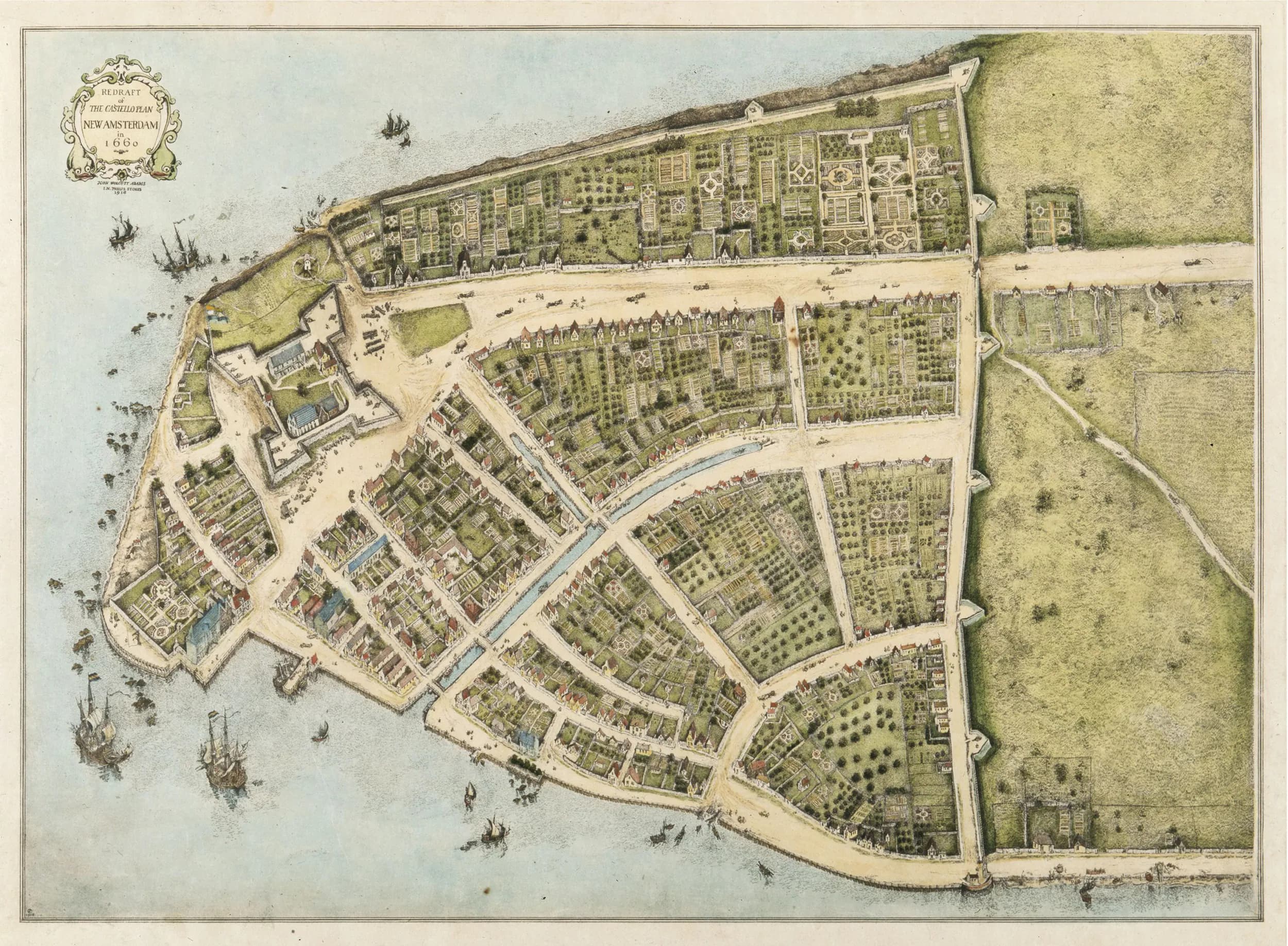
The Castello Plan: The Map used to rebuild New Amsterdam
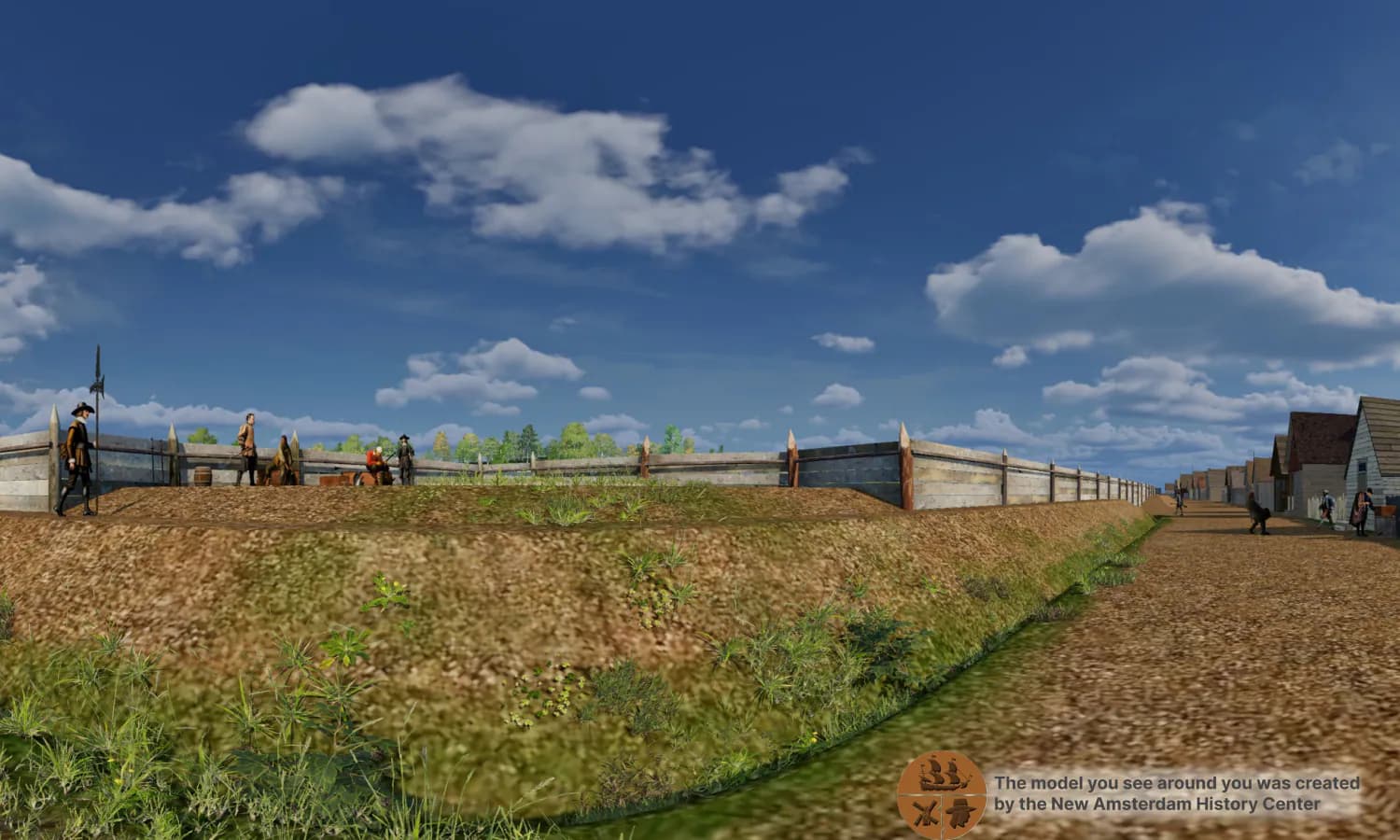
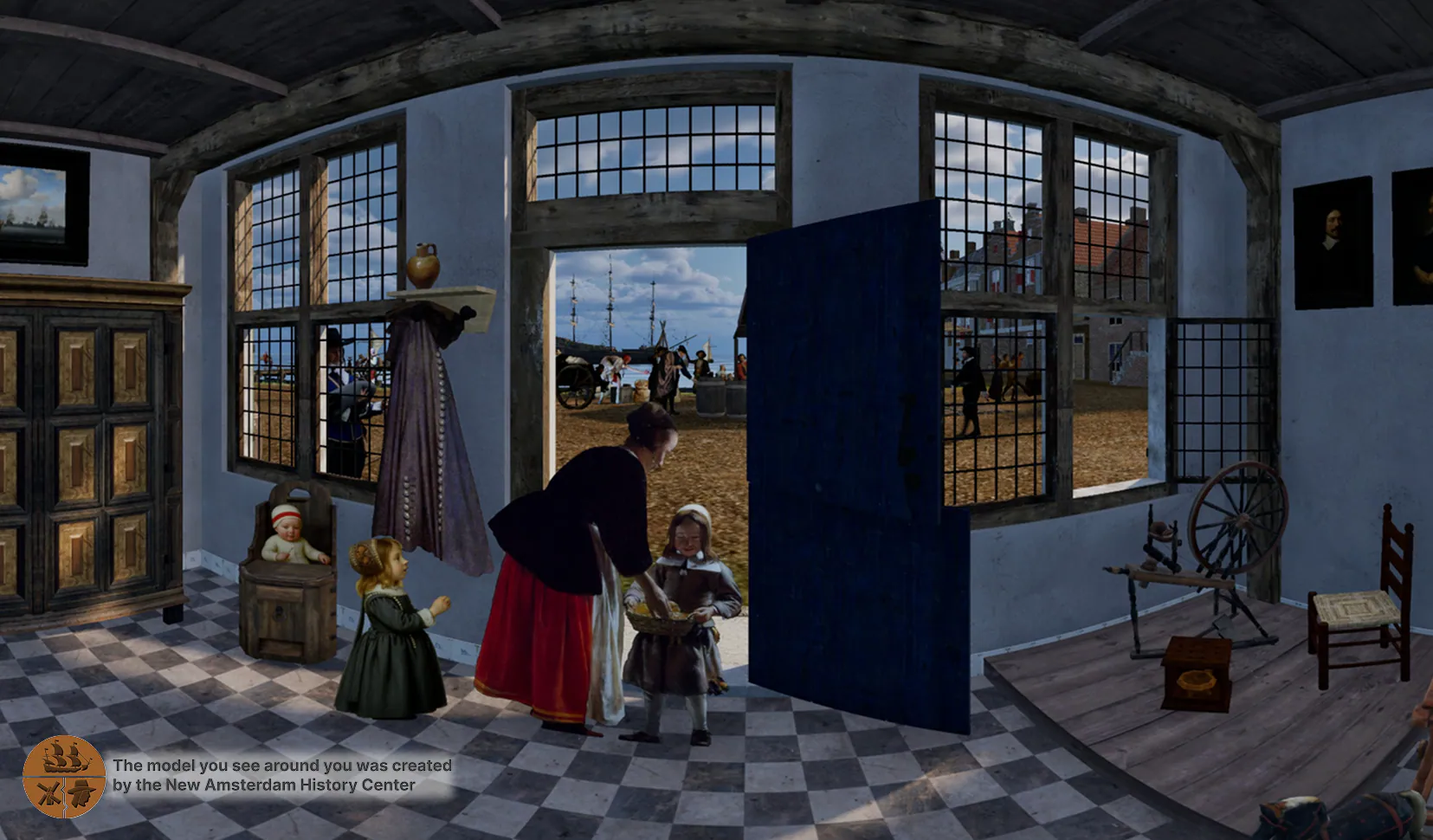
How can anyone know what a city looked like four hundred years ago, when almost every building is gone? For New Amsterdam, the answer is a single remarkable document: a map called the Castello Plan, drawn in 1660. It is…
Read More